Road beside Robin House
Introduction
The photograph on this page of Road beside Robin House by Lairich Rig as part of the Geograph project.
The Geograph project started in 2005 with the aim of publishing, organising and preserving representative images for every square kilometre of Great Britain, Ireland and the Isle of Man.

There are currently over 7.5m images from over 14,400 individuals and you can help contribute to the project by visiting https://www.geograph.org.uk
Road beside Robin House
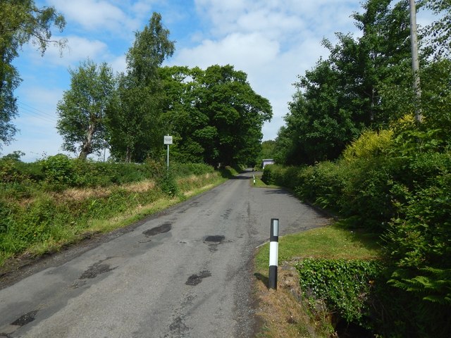
Image: © Lairich Rig Taken: 8 Jun 2018
This road is almost a continuation of Image It leads to various farmhouses; about 900 metres on, it reaches the Image and the start of a path Image
Images are licensed for reuse under creativecommons.org/licenses/by-sa/2.0
Image Location
Latitude
56.013891
Longitude
-4.575232