Corner on Cinderford Lane
Introduction
The photograph on this page of Corner on Cinderford Lane by Chris Thomas-Atkin as part of the Geograph project.
The Geograph project started in 2005 with the aim of publishing, organising and preserving representative images for every square kilometre of Great Britain, Ireland and the Isle of Man.

There are currently over 7.5m images from over 14,400 individuals and you can help contribute to the project by visiting https://www.geograph.org.uk
Corner on Cinderford Lane
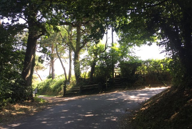
Image: © Chris Thomas-Atkin Taken: 8 Jul 2018
At the corner a bridleway leaves on the left down the track to Blackford Farm, whilst a footpath crosses a stile up the bank straight ahead.
Images are licensed for reuse under creativecommons.org/licenses/by-sa/2.0
Image Location
Latitude
50.90301
Longitude
0.284801