Mayton Lane
Introduction
The photograph on this page of Mayton Lane by Robin Webster as part of the Geograph project.
The Geograph project started in 2005 with the aim of publishing, organising and preserving representative images for every square kilometre of Great Britain, Ireland and the Isle of Man.

There are currently over 7.5m images from over 14,400 individuals and you can help contribute to the project by visiting https://www.geograph.org.uk
Mayton Lane
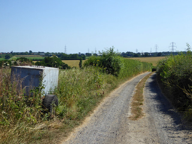
Image: © Robin Webster Taken: 8 Jul 2018
A restricted byway, principally used as access to a couple of properties behind the camera, including Blaxland Farm.
Images are licensed for reuse under creativecommons.org/licenses/by-sa/2.0
Image Location


Leaflet Map data © OpenStreetMap
Latitude
51.324334
Longitude
1.099345