Meer End and the former RAF Honiley
Introduction
The photograph on this page of Meer End and the former RAF Honiley by M J Richardson as part of the Geograph project.
The Geograph project started in 2005 with the aim of publishing, organising and preserving representative images for every square kilometre of Great Britain, Ireland and the Isle of Man.

There are currently over 7.5m images from over 14,400 individuals and you can help contribute to the project by visiting https://www.geograph.org.uk
Meer End and the former RAF Honiley
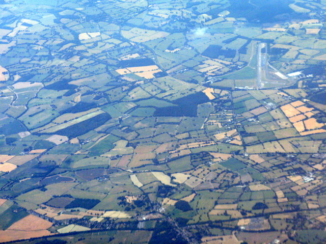
Image: © M J Richardson Taken: 5 Jul 2018
The RAF station closed in 1958 https://en.wikipedia.org/wiki/RAF_Honiley and has been since been used as a vehicle testing facility. Looking southwest from above Coventry.
Images are licensed for reuse under creativecommons.org/licenses/by-sa/2.0
Image Location
Latitude
52.362612
Longitude
-1.64164