Disused buildings along the Ashton Canal
Introduction
The photograph on this page of Disused buildings along the Ashton Canal by Benjamin Shaw as part of the Geograph project.
The Geograph project started in 2005 with the aim of publishing, organising and preserving representative images for every square kilometre of Great Britain, Ireland and the Isle of Man.

There are currently over 7.5m images from over 14,400 individuals and you can help contribute to the project by visiting https://www.geograph.org.uk
Disused buildings along the Ashton Canal
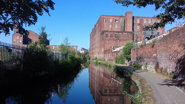
Image: © Benjamin Shaw Taken: 8 Jul 2018
Bradford Road is to the left and Bridge 6 carrying Cambrian Street is just behind the photographer. In the distance, the Islington Wharf apartment building can be seen in the centre of the image.
Images are licensed for reuse under creativecommons.org/licenses/by-sa/2.0
Image Location
Latitude
53.485726
Longitude
-2.212901