North end of Manor House Lane
Introduction
The photograph on this page of North end of Manor House Lane by Stephen Craven as part of the Geograph project.
The Geograph project started in 2005 with the aim of publishing, organising and preserving representative images for every square kilometre of Great Britain, Ireland and the Isle of Man.

There are currently over 7.5m images from over 14,400 individuals and you can help contribute to the project by visiting https://www.geograph.org.uk
North end of Manor House Lane
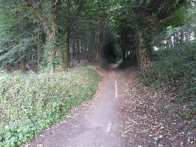
Image: © Stephen Craven Taken: 5 Jul 2018
Online maps still show this as a through road, but in fact the last few hundred metres at the northern end of the road have been closed to motor traffic in recent years. The vegetation is quickly encroaching on what is now only a pedestrian and cycle path, with the old road centre line just visible.
Images are licensed for reuse under creativecommons.org/licenses/by-sa/2.0
Image Location
Latitude
53.866966
Longitude
-1.52323