Leyton: Barn and Farmhouse
Introduction
The photograph on this page of Leyton: Barn and Farmhouse by Stanley Howe as part of the Geograph project.
The Geograph project started in 2005 with the aim of publishing, organising and preserving representative images for every square kilometre of Great Britain, Ireland and the Isle of Man.

There are currently over 7.5m images from over 14,400 individuals and you can help contribute to the project by visiting https://www.geograph.org.uk
Leyton: Barn and Farmhouse
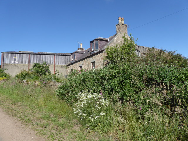
Image: © Stanley Howe Taken: 7 Jun 2018
Near summit of minor road from Torphins to Kincardine O'Neil. Clear blue sky during a prolonged spell of hot dry summer weather over most of UK.
Images are licensed for reuse under creativecommons.org/licenses/by-sa/2.0
Image Location
Latitude
57.096091
Longitude
-2.65815