Old canal docks at Fall Ings
Introduction
The photograph on this page of Old canal docks at Fall Ings by Alan Murray-Rust as part of the Geograph project.
The Geograph project started in 2005 with the aim of publishing, organising and preserving representative images for every square kilometre of Great Britain, Ireland and the Isle of Man.

There are currently over 7.5m images from over 14,400 individuals and you can help contribute to the project by visiting https://www.geograph.org.uk
Old canal docks at Fall Ings
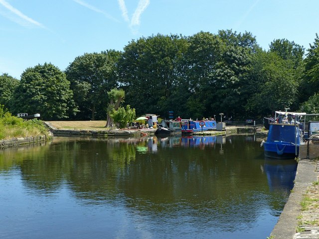
Image: © Alan Murray-Rust Taken: 1 Jul 2018
Developed as part of the Fall Ings Cut of the Calder and Hebble Navigation in 1790. Listed Grade II as part of the complex including basin and lock at this end of the cut.
Images are licensed for reuse under creativecommons.org/licenses/by-sa/2.0
Image Location
Latitude
53.673018
Longitude
-1.483644