Eggbuckland: parish church of St. Edward
Introduction
The photograph on this page of Eggbuckland: parish church of St. Edward by Chris Downer as part of the Geograph project.
The Geograph project started in 2005 with the aim of publishing, organising and preserving representative images for every square kilometre of Great Britain, Ireland and the Isle of Man.

There are currently over 7.5m images from over 14,400 individuals and you can help contribute to the project by visiting https://www.geograph.org.uk
Eggbuckland: parish church of St. Edward
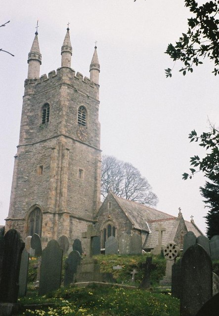
Image: © Chris Downer Taken: 7 Apr 1995
Eggbuckland was probably a distinct village but has now been swallowed up by the increasing suburbia of Plymouth.
Images are licensed for reuse under creativecommons.org/licenses/by-sa/2.0
Image Location
Latitude
50.400734
Longitude
-4.115365