'Up' railway line approaching the Blue Anchor crossing
Introduction
The photograph on this page of 'Up' railway line approaching the Blue Anchor crossing by John C as part of the Geograph project.
The Geograph project started in 2005 with the aim of publishing, organising and preserving representative images for every square kilometre of Great Britain, Ireland and the Isle of Man.

There are currently over 7.5m images from over 14,400 individuals and you can help contribute to the project by visiting https://www.geograph.org.uk
'Up' railway line approaching the Blue Anchor crossing
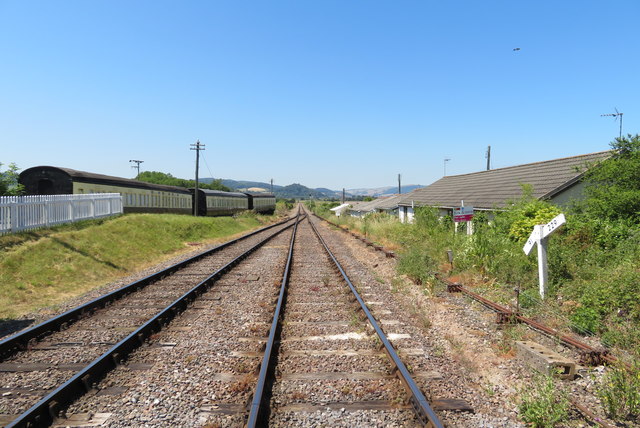
Image: © John C Taken: 29 Jun 2018
The straight track from Blue Anchor heads across Ker Moor to Minehead. Photo taken from the taken from the controlled level crossing.
Images are licensed for reuse under creativecommons.org/licenses/by-sa/2.0
Image Location


Leaflet Map data © OpenStreetMap
Latitude
51.181817
Longitude
-3.401913