Copeman Street (street name sign)
Introduction
The photograph on this page of Copeman Street (street name sign) by Evelyn Simak as part of the Geograph project.
The Geograph project started in 2005 with the aim of publishing, organising and preserving representative images for every square kilometre of Great Britain, Ireland and the Isle of Man.

There are currently over 7.5m images from over 14,400 individuals and you can help contribute to the project by visiting https://www.geograph.org.uk
Copeman Street (street name sign)
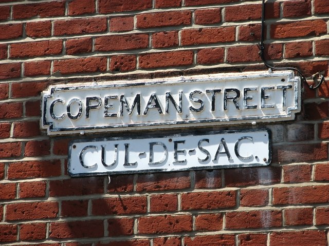
Image: © Evelyn Simak Taken: 3 Jul 2018
Copeman Street links with Cow Hill via Chestnut Court > http://www.geograph.org.uk/photo/5829825 but only if on foot or by bicycle.
Images are licensed for reuse under creativecommons.org/licenses/by-sa/2.0
Image Location
Latitude
52.63044
Longitude
1.285636