Castle Street, Mere
Introduction
The photograph on this page of Castle Street, Mere by Derek Harper as part of the Geograph project.
The Geograph project started in 2005 with the aim of publishing, organising and preserving representative images for every square kilometre of Great Britain, Ireland and the Isle of Man.

There are currently over 7.5m images from over 14,400 individuals and you can help contribute to the project by visiting https://www.geograph.org.uk
Castle Street, Mere
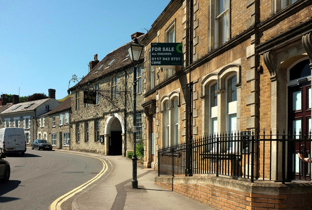
Image: © Derek Harper Taken: 29 Jun 2018
Roughly a reverse view of Image], with the former bank, now for sale, and the grade II* listed Old Ship Inn https://www.historicengland.org.uk/listing/the-list/list-entry/1130748 . "The external wrought iron sign probably by Kingston Avery in mid C18 is large and of great elaboration".
Images are licensed for reuse under creativecommons.org/licenses/by-sa/2.0
Image Location
Latitude
51.09051
Longitude
-2.269672