View of south Herefordshire
Introduction
The photograph on this page of View of south Herefordshire by Philip Halling as part of the Geograph project.
The Geograph project started in 2005 with the aim of publishing, organising and preserving representative images for every square kilometre of Great Britain, Ireland and the Isle of Man.

There are currently over 7.5m images from over 14,400 individuals and you can help contribute to the project by visiting https://www.geograph.org.uk
View of south Herefordshire
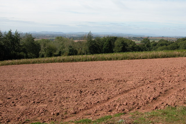
Image: © Philip Halling Taken: 24 Sep 2005
View from near Lynders Wood across south Herefordshire and parts of Monmouthshire/Gwent. In the far distance the line of the Black Mountains can be seen.
Images are licensed for reuse under creativecommons.org/licenses/by-sa/2.0
Image Location


Leaflet Map data © OpenStreetMap
Latitude
51.932321
Longitude
-2.506092