Rowan Close, Penarth
Introduction
The photograph on this page of Rowan Close, Penarth by Stephen McKay as part of the Geograph project.
The Geograph project started in 2005 with the aim of publishing, organising and preserving representative images for every square kilometre of Great Britain, Ireland and the Isle of Man.

There are currently over 7.5m images from over 14,400 individuals and you can help contribute to the project by visiting https://www.geograph.org.uk
Rowan Close, Penarth
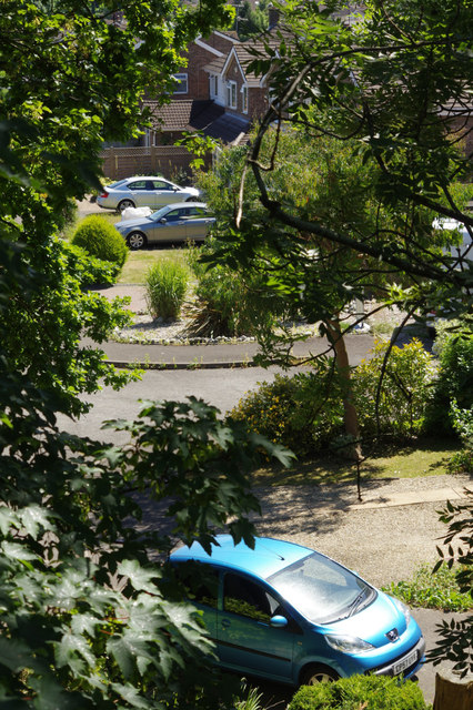
Image: © Stephen McKay Taken: 26 Jun 2018
This is the view down from Forrest Road to where houses have taken over the trackbed of the Penarth - Cadoxton railway, closed in the late 1960s. Lower Penarth Halt was in this vicinity but it closed even earlier, in 1954.
Images are licensed for reuse under creativecommons.org/licenses/by-sa/2.0
Image Location
Latitude
51.424188
Longitude
-3.175435