Clasemont Road (A48) west of Morriston
Introduction
The photograph on this page of Clasemont Road (A48) west of Morriston by David Smith as part of the Geograph project.
The Geograph project started in 2005 with the aim of publishing, organising and preserving representative images for every square kilometre of Great Britain, Ireland and the Isle of Man.

There are currently over 7.5m images from over 14,400 individuals and you can help contribute to the project by visiting https://www.geograph.org.uk
Clasemont Road (A48) west of Morriston
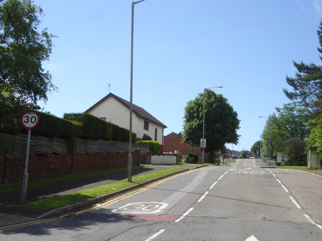
Image: © David Smith Taken: 2 Jun 2018
On the right is a pull-off for a bus stop; the corresponding stop on the left is further up the hill; both serve the nearby DVLA offices as well as local housing
Images are licensed for reuse under creativecommons.org/licenses/by-sa/2.0
Image Location
Latitude
51.67232
Longitude
-3.949059