Unnamed road linking Carn Road and Seafin Road
Introduction
The photograph on this page of Unnamed road linking Carn Road and Seafin Road by Eric Jones as part of the Geograph project.
The Geograph project started in 2005 with the aim of publishing, organising and preserving representative images for every square kilometre of Great Britain, Ireland and the Isle of Man.

There are currently over 7.5m images from over 14,400 individuals and you can help contribute to the project by visiting https://www.geograph.org.uk
Unnamed road linking Carn Road and Seafin Road
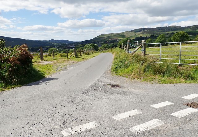
Image: © Eric Jones Taken: 21 Jun 2018
The uplands in the middle distance across the Flurry River Valley are Slieve Gullion and Camlough Mountain. Beyond the col are the familiar outline of Sugarloaf Hill and Sturgan Mountain.
Images are licensed for reuse under creativecommons.org/licenses/by-sa/2.0
Image Location
Latitude
54.140827
Longitude
-6.385231