Down Hall Primary School
Introduction
The photograph on this page of Down Hall Primary School by terry joyce as part of the Geograph project.
The Geograph project started in 2005 with the aim of publishing, organising and preserving representative images for every square kilometre of Great Britain, Ireland and the Isle of Man.

There are currently over 7.5m images from over 14,400 individuals and you can help contribute to the project by visiting https://www.geograph.org.uk
Down Hall Primary School
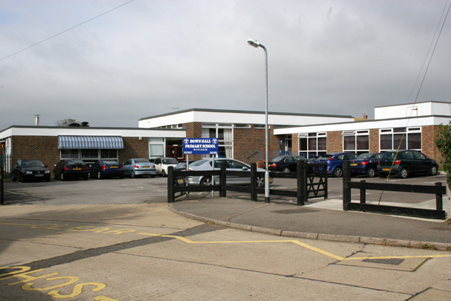
Image: © terry joyce Taken: 12 Oct 2007
Down Hall Primary School, Brooklyn Drive entrance. The School's postcode is SS6 9LW.
Images are licensed for reuse under creativecommons.org/licenses/by-sa/2.0
Image Location
Latitude
51.597919
Longitude
0.604707