North-east Bridge
Introduction
The photograph on this page of North-east Bridge by Anne Burgess as part of the Geograph project.
The Geograph project started in 2005 with the aim of publishing, organising and preserving representative images for every square kilometre of Great Britain, Ireland and the Isle of Man.

There are currently over 7.5m images from over 14,400 individuals and you can help contribute to the project by visiting https://www.geograph.org.uk
North-east Bridge
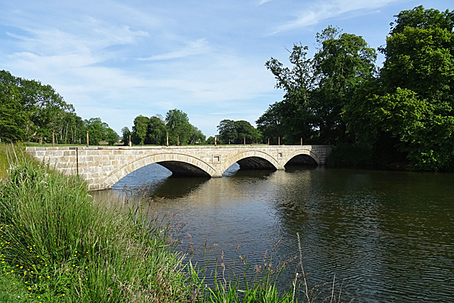
Image: © Anne Burgess Taken: 25 Jun 2018
One of two bridges built in the early years of the 19th century to carry the drive to Pitfour House over the newly-constructed artificial lake.
Images are licensed for reuse under creativecommons.org/licenses/by-sa/2.0
Image Location
Latitude
57.529797
Longitude
-2.034886