View from Llanfair churchyard
Introduction
The photograph on this page of View from Llanfair churchyard by Penny Mayes as part of the Geograph project.
The Geograph project started in 2005 with the aim of publishing, organising and preserving representative images for every square kilometre of Great Britain, Ireland and the Isle of Man.

There are currently over 7.5m images from over 14,400 individuals and you can help contribute to the project by visiting https://www.geograph.org.uk
View from Llanfair churchyard
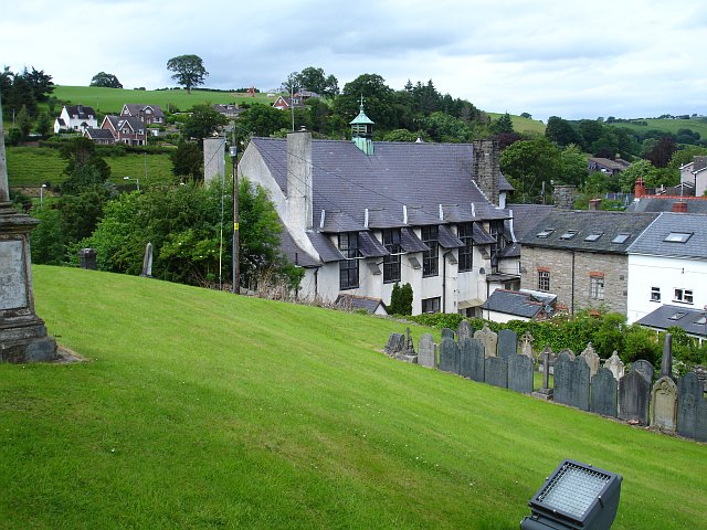
Image: © Penny Mayes Taken: 28 Jun 2007
This shows the hilly nature of this settlement. The church of St Mary dominates the place from its hilltop position. I'm not sure what the large white building is but it has a Swiss feel about it.
Images are licensed for reuse under creativecommons.org/licenses/by-sa/2.0
Image Location
Latitude
52.648623
Longitude
-3.32611