The Ballee roundabout, Ballymena
Introduction
The photograph on this page of The Ballee roundabout, Ballymena by Albert Bridge as part of the Geograph project.
The Geograph project started in 2005 with the aim of publishing, organising and preserving representative images for every square kilometre of Great Britain, Ireland and the Isle of Man.

There are currently over 7.5m images from over 14,400 individuals and you can help contribute to the project by visiting https://www.geograph.org.uk
The Ballee roundabout, Ballymena
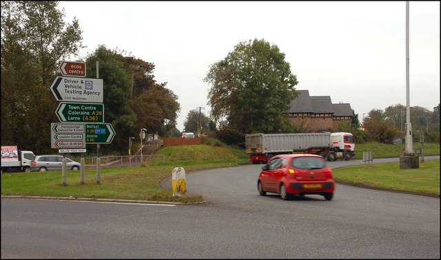
Image: © Albert Bridge Taken: 11 Oct 2007
The Ballee roundabout is at the end of the dual carriageway from Antrim/Belfast. The road to Coleraine is on the left. The road to Belfast is marked by the trees at middle right.
Images are licensed for reuse under creativecommons.org/licenses/by-sa/2.0
Image Location


Leaflet Map data © OpenStreetMap
Latitude
54.842238
Longitude
-6.274052