
Cleveland Way north of Hayburn Wyke
Introduction
The photograph on this page of Cleveland Way north of Hayburn Wyke by Oliver Dixon as part of the Geograph project.
The Geograph project started in 2005 with the aim of publishing, organising and preserving representative images for every square kilometre of Great Britain, Ireland and the Isle of Man.

There are currently over 7.5m images from over 14,400 individuals and you can help contribute to the project by visiting https://www.geograph.org.uk
Cleveland Way north of Hayburn Wyke
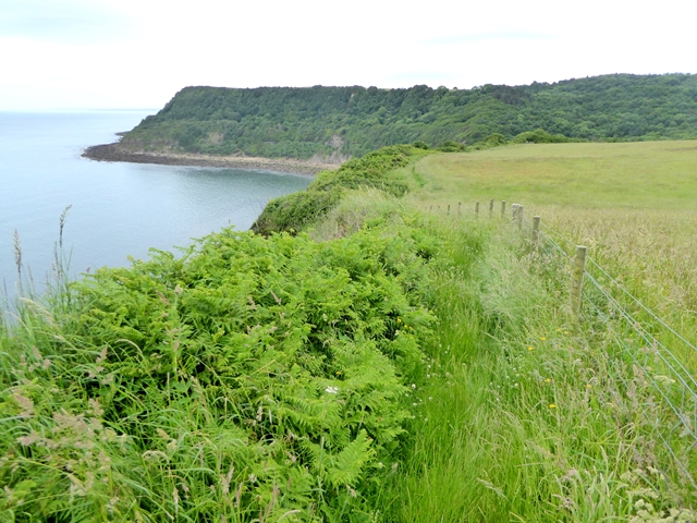
Image: © Oliver Dixon Taken: 19 Jun 2018
Normally the route followed by the Cleveland Way is along the clifftop, but a notice at Petard Point announced its temporary closure due to a landslip. Three of us decided to ignore the diversion and keep to the original route. Here the going was reasonably easy albeit the path was somewhat overgrown. But we were going to be sorry later on - see Image Tindall Point Image on the far side of the bay.
Images are licensed for reuse under creativecommons.org/licenses/by-sa/2.0
Image Location

Latitude
54.362931
Longitude
-0.446965