Under the bridge
Introduction
The photograph on this page of Under the bridge by Penny Mayes as part of the Geograph project.
The Geograph project started in 2005 with the aim of publishing, organising and preserving representative images for every square kilometre of Great Britain, Ireland and the Isle of Man.

There are currently over 7.5m images from over 14,400 individuals and you can help contribute to the project by visiting https://www.geograph.org.uk
Under the bridge
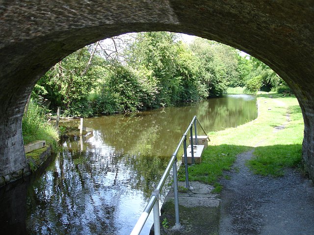
Image: © Penny Mayes Taken: 16 Jul 2007
Bridge 115 carries Rhallt Lane over the Montgomery Canal. There was a small wharf here and, on the right beside the picnic area are the remains of three lime kilns http://www.geograph.org.uk/photo/581739 http://www.geograph.org.uk/photo/581745 .
Images are licensed for reuse under creativecommons.org/licenses/by-sa/2.0
Image Location
Latitude
52.6722
Longitude
-3.123912