Heolddu Road, Bargoed
Introduction
The photograph on this page of Heolddu Road, Bargoed by Jaggery as part of the Geograph project.
The Geograph project started in 2005 with the aim of publishing, organising and preserving representative images for every square kilometre of Great Britain, Ireland and the Isle of Man.

There are currently over 7.5m images from over 14,400 individuals and you can help contribute to the project by visiting https://www.geograph.org.uk
Heolddu Road, Bargoed
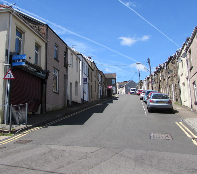
Image: © Jaggery Taken: 21 Jun 2018
Ascending westwards from the Upper High Street/Francis Street/Church Place crossroads. The two-way traffic sign faces one-way Upper High Street.
Images are licensed for reuse under creativecommons.org/licenses/by-sa/2.0
Image Location
Latitude
51.691383
Longitude
-3.232114