Cumbernauld Road
Introduction
The photograph on this page of Cumbernauld Road by Thomas Nugent as part of the Geograph project.
The Geograph project started in 2005 with the aim of publishing, organising and preserving representative images for every square kilometre of Great Britain, Ireland and the Isle of Man.

There are currently over 7.5m images from over 14,400 individuals and you can help contribute to the project by visiting https://www.geograph.org.uk
Cumbernauld Road
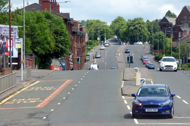
Image: © Thomas Nugent Taken: 17 Jun 2018
Climbing up the hill from Alexandra Parade. The red brick wall on the left is a bridge over the disused Caledonian Railway "Switchback Line" https://en.wikipedia.org/wiki/The_Switchback which connected Rutherglen to the north east of the city.
Images are licensed for reuse under creativecommons.org/licenses/by-sa/2.0
Image Location
Latitude
55.86374
Longitude
-4.197847