Path to Staffa Street
Introduction
The photograph on this page of Path to Staffa Street by Lairich Rig as part of the Geograph project.
The Geograph project started in 2005 with the aim of publishing, organising and preserving representative images for every square kilometre of Great Britain, Ireland and the Isle of Man.

There are currently over 7.5m images from over 14,400 individuals and you can help contribute to the project by visiting https://www.geograph.org.uk
Path to Staffa Street
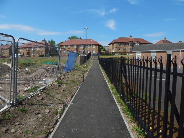
Image: © Lairich Rig Taken: 26 May 2018
The path leads from Drumshantie Road to Image On the right is the rear of Image To the left, but out of shot, work was taking place on the new St Ninian's Primary School, on what had previously been the playing field of the existing school building: Image At the time the present picture was taken, that older school building (Image) was still standing. It was to be kept in use until the new one was ready, but it would be demolished at some point after that.
Images are licensed for reuse under creativecommons.org/licenses/by-sa/2.0
Image Location
Latitude
55.951311
Longitude
-4.818421