Dam across the Robin Brook in Marks Hall Park
Introduction
The photograph on this page of Dam across the Robin Brook in Marks Hall Park by Marathon as part of the Geograph project.
The Geograph project started in 2005 with the aim of publishing, organising and preserving representative images for every square kilometre of Great Britain, Ireland and the Isle of Man.

There are currently over 7.5m images from over 14,400 individuals and you can help contribute to the project by visiting https://www.geograph.org.uk
Dam across the Robin Brook in Marks Hall Park
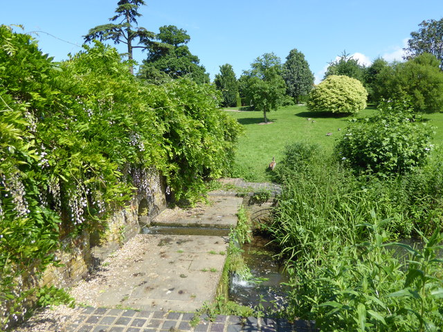
Image: © Marathon Taken: 2 Jun 2018
Marks Hall Estate was left to the nation in the will of Thomas Phillips Price in 1927. He died in 1932 leaving his widow a life interest in the Marks Hall Estate. Mrs Phillips Price survived him by 34 years and died on 18th November 1966 at which point the Estate reverted to the nation. In the intervening years, however, the house had been demolished, oaks had been felled and the gardens and deer park were overgrown. With the approval of HM Treasury the Thomas Phillips Price trust was established in 1971. The Estate is now a registered charity - see https://www.markshall.org.uk/ for more information. Local legend suggests the lakes were dug by Cromwell's troops at the time of the Siege of Colchester in 1648. They were formed by damming the Robin Brook which is a tributary of the River Blackwater. This is the view across one of the dams where it is possible to cross from one side to the other. On this day there were hundreds of dragonflies over the water. The view of the lake to the right can be seen at http://www.geograph.org.uk/photo/5815185
Images are licensed for reuse under creativecommons.org/licenses/by-sa/2.0
Image Location
Latitude
51.897677
Longitude
0.672312