Ruined building at Orchard Field
Introduction
The photograph on this page of Ruined building at Orchard Field by Robert Graham as part of the Geograph project.
The Geograph project started in 2005 with the aim of publishing, organising and preserving representative images for every square kilometre of Great Britain, Ireland and the Isle of Man.

There are currently over 7.5m images from over 14,400 individuals and you can help contribute to the project by visiting https://www.geograph.org.uk
Ruined building at Orchard Field
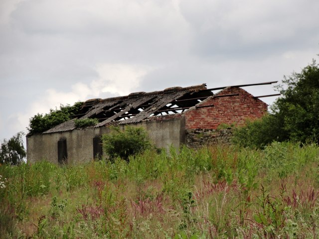
Image: © Robert Graham Taken: 13 Jun 2018
This was probably a cattle byre. There was a farm here from the mid C19 at least, as it is shown on the 1864 Ordnance Survey map. However only ruined stone walls remain now. This building is probably a later addition, 1950's perhaps.
Images are licensed for reuse under creativecommons.org/licenses/by-sa/2.0
Image Location
Latitude
54.859679
Longitude
-1.8903