Weir on the Dighty Water
Introduction
The photograph on this page of Weir on the Dighty Water by Russel Wills as part of the Geograph project.
The Geograph project started in 2005 with the aim of publishing, organising and preserving representative images for every square kilometre of Great Britain, Ireland and the Isle of Man.

There are currently over 7.5m images from over 14,400 individuals and you can help contribute to the project by visiting https://www.geograph.org.uk
Weir on the Dighty Water
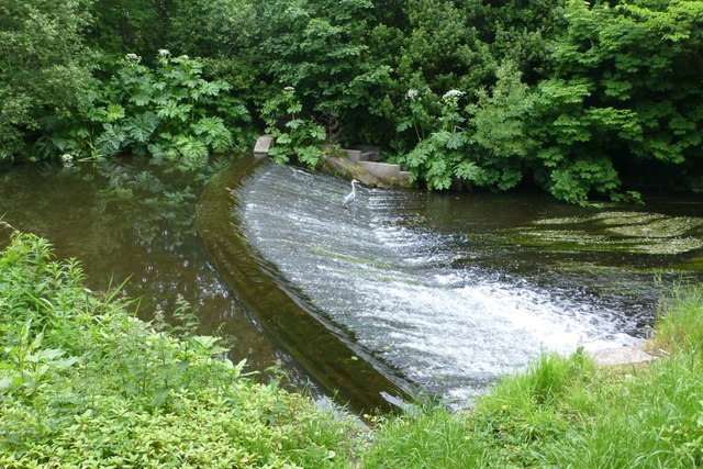
Image: © Russel Wills Taken: 17 Jun 2018
The Dighty powered many mills on its way from the Sidlaw hills to Monifieth sands. Note the heron waiting for lunch!
Images are licensed for reuse under creativecommons.org/licenses/by-sa/2.0
Image Location
Latitude
56.481977
Longitude
-2.848163