Sea defences at Whitby Sands
Introduction
The photograph on this page of Sea defences at Whitby Sands by Oliver Dixon as part of the Geograph project.
The Geograph project started in 2005 with the aim of publishing, organising and preserving representative images for every square kilometre of Great Britain, Ireland and the Isle of Man.

There are currently over 7.5m images from over 14,400 individuals and you can help contribute to the project by visiting https://www.geograph.org.uk
Sea defences at Whitby Sands
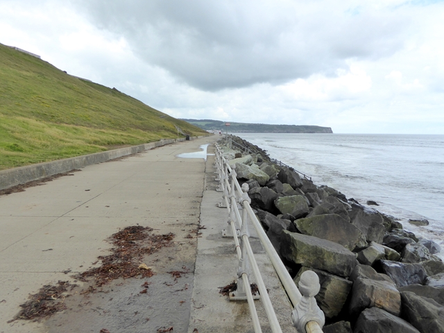
Image: © Oliver Dixon Taken: 17 Jun 2018
The new sea defences and cliff stabilisation works were completed in 1990. Sandsend Ness in the distance.
Images are licensed for reuse under creativecommons.org/licenses/by-sa/2.0
Image Location
Latitude
54.494457
Longitude
-0.63576