Auchterless primary school
Introduction
The photograph on this page of Auchterless primary school by Bill Harrison as part of the Geograph project.
The Geograph project started in 2005 with the aim of publishing, organising and preserving representative images for every square kilometre of Great Britain, Ireland and the Isle of Man.

There are currently over 7.5m images from over 14,400 individuals and you can help contribute to the project by visiting https://www.geograph.org.uk
Auchterless primary school
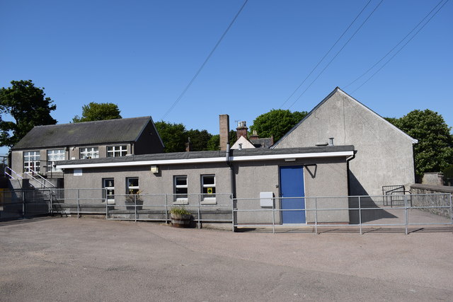
Image: © Bill Harrison Taken: 26 May 2018
The school roll (2017-18) is 25 taught in two classes with the catchment area covering many square kilometres of the sparsely populated surrounding countryside.
Images are licensed for reuse under creativecommons.org/licenses/by-sa/2.0
Image Location
Latitude
57.463673
Longitude
-2.480384