Bangor from Ballymacormick Point
Introduction
The photograph on this page of Bangor from Ballymacormick Point by Rossographer as part of the Geograph project.
The Geograph project started in 2005 with the aim of publishing, organising and preserving representative images for every square kilometre of Great Britain, Ireland and the Isle of Man.

There are currently over 7.5m images from over 14,400 individuals and you can help contribute to the project by visiting https://www.geograph.org.uk
Bangor from Ballymacormick Point
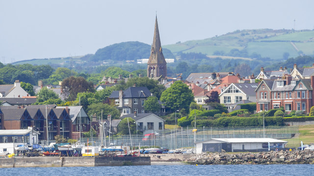
Image: © Rossographer Taken: 10 Jun 2018
A view across Ballyholme Bay towards Bangor; Ballyholme Yacht Club Image is seen by the water with the spire of St Comgall's Image prominent in the centre of town.
Images are licensed for reuse under creativecommons.org/licenses/by-sa/2.0
Image Location
Latitude
54.667842
Longitude
-5.653497