The Haylie Brae
Introduction
The photograph on this page of The Haylie Brae by Thomas Nugent as part of the Geograph project.
The Geograph project started in 2005 with the aim of publishing, organising and preserving representative images for every square kilometre of Great Britain, Ireland and the Isle of Man.

There are currently over 7.5m images from over 14,400 individuals and you can help contribute to the project by visiting https://www.geograph.org.uk
The Haylie Brae
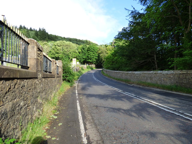
Image: © Thomas Nugent Taken: 16 Jun 2018
The A760 Largs to Kilbirnie road at Largs cemetery is known as Haylie Brae, pronounced locally as "Heely". The road climbs very steeply for the next mile, with a couple hairpin bends amongst the trees.
Images are licensed for reuse under creativecommons.org/licenses/by-sa/2.0
Image Location
Latitude
55.784269
Longitude
-4.854674