Bradninch: junction of High Street with Peter Street
Introduction
The photograph on this page of Bradninch: junction of High Street with Peter Street by Martin Bodman as part of the Geograph project.
The Geograph project started in 2005 with the aim of publishing, organising and preserving representative images for every square kilometre of Great Britain, Ireland and the Isle of Man.

There are currently over 7.5m images from over 14,400 individuals and you can help contribute to the project by visiting https://www.geograph.org.uk
Bradninch: junction of High Street with Peter Street
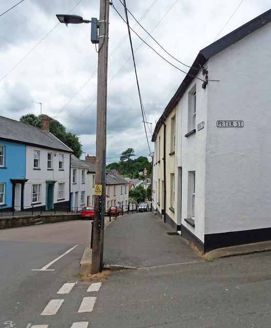
Image: © Martin Bodman Taken: 15 Jun 2018
The town - with buildings largely dating from the nineteenth century - is built on quite hilly topography. High Street runs down to West End Road and the way to Silverton
Images are licensed for reuse under creativecommons.org/licenses/by-sa/2.0
Image Location
Latitude
50.826677
Longitude
-3.422469