Tividale Quays Basin, from the Old Main Line
Introduction
The photograph on this page of Tividale Quays Basin, from the Old Main Line by Christine Johnstone as part of the Geograph project.
The Geograph project started in 2005 with the aim of publishing, organising and preserving representative images for every square kilometre of Great Britain, Ireland and the Isle of Man.

There are currently over 7.5m images from over 14,400 individuals and you can help contribute to the project by visiting https://www.geograph.org.uk
Tividale Quays Basin, from the Old Main Line
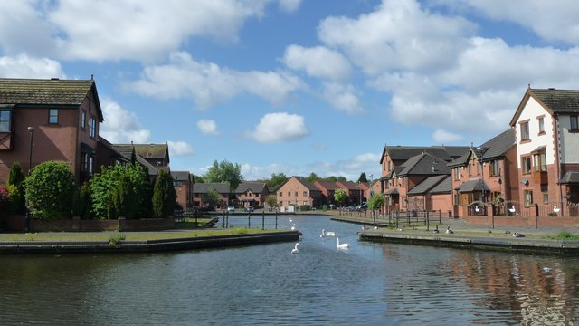
Image: © Christine Johnstone Taken: 10 May 2018
Known as Dudley Port Basin when it was surrounded by wharves instead of houses.
Images are licensed for reuse under creativecommons.org/licenses/by-sa/2.0
Image Location
Latitude
52.517501
Longitude
-2.054482