Upper Dalquhurn Farm
Introduction
The photograph on this page of Upper Dalquhurn Farm by Lairich Rig as part of the Geograph project.
The Geograph project started in 2005 with the aim of publishing, organising and preserving representative images for every square kilometre of Great Britain, Ireland and the Isle of Man.

There are currently over 7.5m images from over 14,400 individuals and you can help contribute to the project by visiting https://www.geograph.org.uk
Upper Dalquhurn Farm
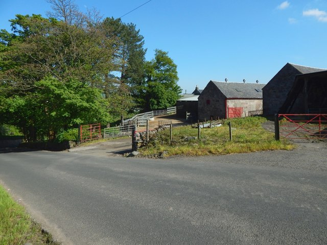
Image: © Lairich Rig Taken: 23 May 2018
It is often known locally as MacLachlan's Farm. For earlier pictures, see Image and Image The present view is from Image The "Upper" element may seem superfluous since there is currently no other Dalquhurn Farm in the area, but it is an indication that this was not always the case. This farm had earlier been called Over Dalquhurn, to distinguish it from Nether Dalquhurn, whose buildings were about 700 metres to the south; see https://www.geograph.org.uk/snippet/1188 for the remains of the latter farm.
Images are licensed for reuse under creativecommons.org/licenses/by-sa/2.0
Image Location
Latitude
55.974734
Longitude
-4.590901