Brough Beck, Catterick
Introduction
The photograph on this page of Brough Beck, Catterick by G Laird as part of the Geograph project.
The Geograph project started in 2005 with the aim of publishing, organising and preserving representative images for every square kilometre of Great Britain, Ireland and the Isle of Man.

There are currently over 7.5m images from over 14,400 individuals and you can help contribute to the project by visiting https://www.geograph.org.uk
Brough Beck, Catterick
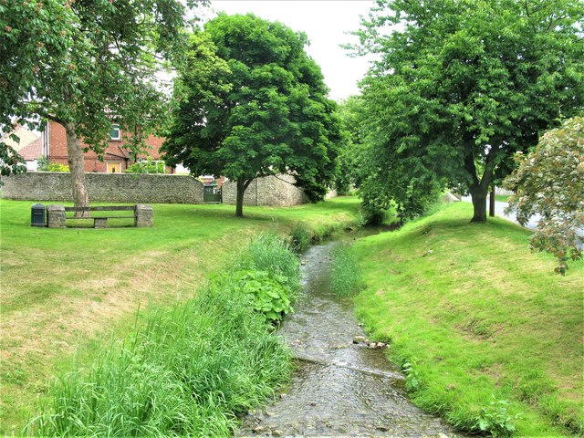
Image: © G Laird Taken: 13 Jun 2018
Brough Beck is a tributary of the River Swale just over a mile from this point.
Images are licensed for reuse under creativecommons.org/licenses/by-sa/2.0
Image Location
Latitude
54.375948
Longitude
-1.630658