Under the M60
Introduction
The photograph on this page of Under the M60 by Gerald England as part of the Geograph project.
The Geograph project started in 2005 with the aim of publishing, organising and preserving representative images for every square kilometre of Great Britain, Ireland and the Isle of Man.

There are currently over 7.5m images from over 14,400 individuals and you can help contribute to the project by visiting https://www.geograph.org.uk
Under the M60
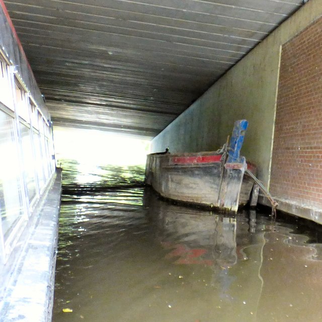
Image: © Gerald England Taken: 12 Jun 2018
A wooden canal boat is moored on the Ashton canal underneath the M60.
Images are licensed for reuse under creativecommons.org/licenses/by-sa/2.0
Image Location
Latitude
53.475423
Longitude
-2.125615