Methodist church and hall
Introduction
The photograph on this page of Methodist church and hall by Jonathan Hutchins as part of the Geograph project.
The Geograph project started in 2005 with the aim of publishing, organising and preserving representative images for every square kilometre of Great Britain, Ireland and the Isle of Man.

There are currently over 7.5m images from over 14,400 individuals and you can help contribute to the project by visiting https://www.geograph.org.uk
Methodist church and hall
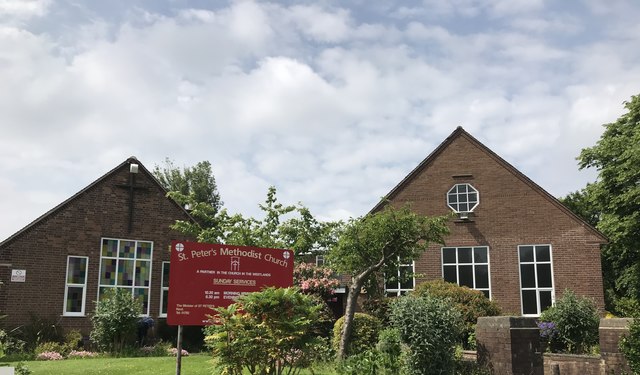
Image: © Jonathan Hutchins Taken: 4 Jun 2018
St Peter's Methodist Church is on the left and the church hall on the right. A history of the two buildings can be found at http://www.northstaffordshiremethodists.org.uk/churches/church-profiles/st-peters-methodist-church.php
Images are licensed for reuse under creativecommons.org/licenses/by-sa/2.0
Image Location
Latitude
52.999393
Longitude
-2.233147