Ruins of Smithyshaws
Introduction
The photograph on this page of Ruins of Smithyshaws by Alan O'Dowd as part of the Geograph project.
The Geograph project started in 2005 with the aim of publishing, organising and preserving representative images for every square kilometre of Great Britain, Ireland and the Isle of Man.

There are currently over 7.5m images from over 14,400 individuals and you can help contribute to the project by visiting https://www.geograph.org.uk
Ruins of Smithyshaws
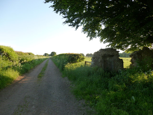
Image: © Alan O'Dowd Taken: 12 Jun 2018
The walls on the right hand side are all that remains of Smithyshaws, noted on the mid-19th Century Ordnance Survey name books as 'a cot-house one storey thatched, in good repair.'
Images are licensed for reuse under creativecommons.org/licenses/by-sa/2.0
Image Location
Latitude
55.658486
Longitude
-3.823872