Mixed development near Osprey Quay, Portland
Introduction
The photograph on this page of Mixed development near Osprey Quay, Portland by Robin Stott as part of the Geograph project.
The Geograph project started in 2005 with the aim of publishing, organising and preserving representative images for every square kilometre of Great Britain, Ireland and the Isle of Man.

There are currently over 7.5m images from over 14,400 individuals and you can help contribute to the project by visiting https://www.geograph.org.uk
Mixed development near Osprey Quay, Portland
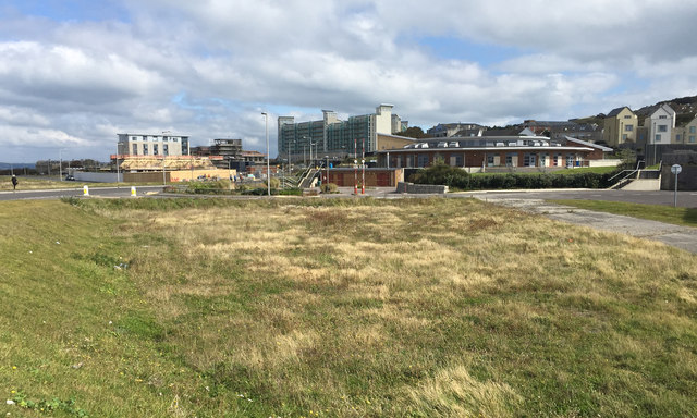
Image: © Robin Stott Taken: 17 Sep 2017
Former naval land at the flat northwest end of Portland appears to be developing in a piecemeal way. Roads such as Lerret Road, left, have been laid out but the spaces between them seem slow to fill. Maritime, industrial and commercial businesses and services are present or under construction. Nearest the camera on the right is a school: the Osprey Quay campus of Atlantic Academy Portland, a co-educational through school and sixth form for ages 3-19. In the background are blocks of private apartments, formerly accommodation for naval personnel: Image
Images are licensed for reuse under creativecommons.org/licenses/by-sa/2.0
Image Location
Latitude
50.566234
Longitude
-2.448525