Llanllugan church
Introduction
The photograph on this page of Llanllugan church by Philip Halling as part of the Geograph project.
The Geograph project started in 2005 with the aim of publishing, organising and preserving representative images for every square kilometre of Great Britain, Ireland and the Isle of Man.

There are currently over 7.5m images from over 14,400 individuals and you can help contribute to the project by visiting https://www.geograph.org.uk
Llanllugan church
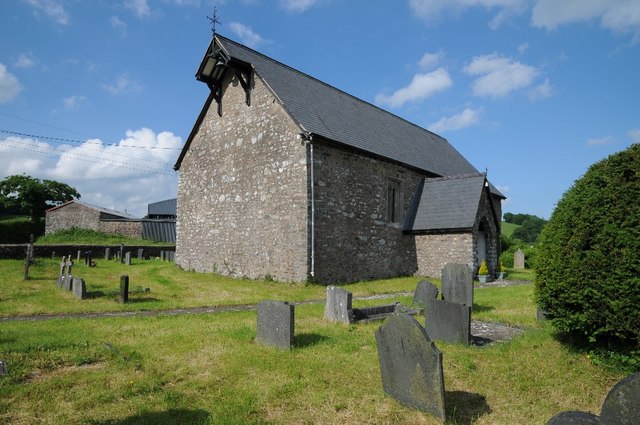
Image: © Philip Halling Taken: 3 Jun 2018
St Mary's church in Llanllugan stands in the valley above Afon Rhiw. Rather than a bellcot the bell is shelter under a projection of the main roof.
Images are licensed for reuse under creativecommons.org/licenses/by-sa/2.0
Image Location
Latitude
52.610724
Longitude
-3.393049