Ploughed field in the Rhiw valley
Introduction
The photograph on this page of Ploughed field in the Rhiw valley by Philip Halling as part of the Geograph project.
The Geograph project started in 2005 with the aim of publishing, organising and preserving representative images for every square kilometre of Great Britain, Ireland and the Isle of Man.

There are currently over 7.5m images from over 14,400 individuals and you can help contribute to the project by visiting https://www.geograph.org.uk
Ploughed field in the Rhiw valley
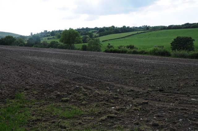
Image: © Philip Halling Taken: 3 Jun 2018
What appears to be a ploughed field in the upper Rhiw valley, though this is not an area where much arable farming takes place, possibly this is being reseeded as pasture land.
Images are licensed for reuse under creativecommons.org/licenses/by-sa/2.0
Image Location
Latitude
52.599578
Longitude
-3.423112