River Pont
Introduction
The photograph on this page of River Pont by Ben Kendall as part of the Geograph project.
The Geograph project started in 2005 with the aim of publishing, organising and preserving representative images for every square kilometre of Great Britain, Ireland and the Isle of Man.

There are currently over 7.5m images from over 14,400 individuals and you can help contribute to the project by visiting https://www.geograph.org.uk
River Pont
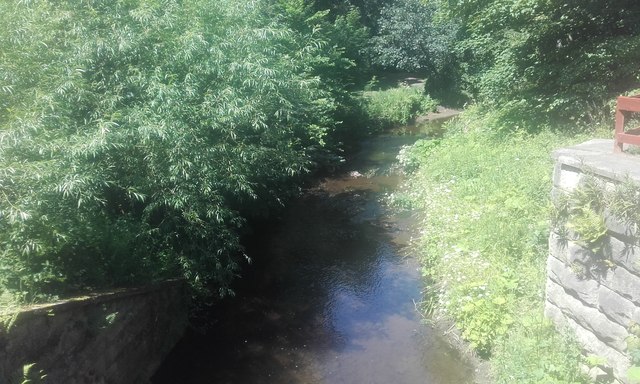
Image: © Ben Kendall Taken: 19 Jun 2017
The River Pont running through Ponteland Park. Part of the old railway bridge can also be seen.
Images are licensed for reuse under creativecommons.org/licenses/by-sa/2.0
Image Location
Latitude
55.048441
Longitude
-1.744231