View of Hernhill
Introduction
The photograph on this page of View of Hernhill by pam fray as part of the Geograph project.
The Geograph project started in 2005 with the aim of publishing, organising and preserving representative images for every square kilometre of Great Britain, Ireland and the Isle of Man.

There are currently over 7.5m images from over 14,400 individuals and you can help contribute to the project by visiting https://www.geograph.org.uk
View of Hernhill
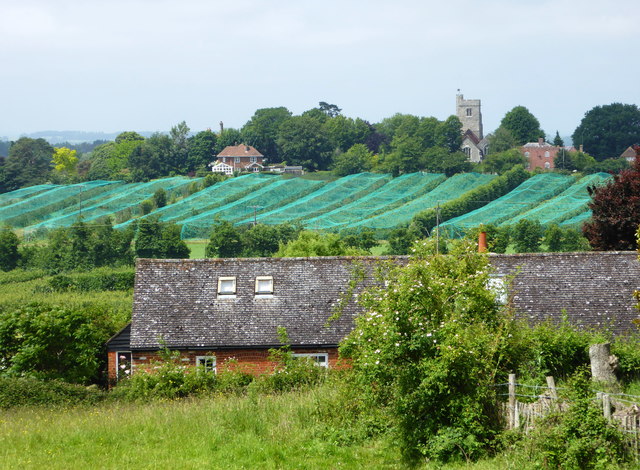
Image: © pam fray Taken: 11 Jun 2018
From Crockham Road looking across Crockham Lane showing St. Michael's Church and crops covered in nets.
Images are licensed for reuse under creativecommons.org/licenses/by-sa/2.0
Image Location
Latitude
51.306541
Longitude
0.966844