Darn Road
Introduction
The photograph on this page of Darn Road by Richard Webb as part of the Geograph project.
The Geograph project started in 2005 with the aim of publishing, organising and preserving representative images for every square kilometre of Great Britain, Ireland and the Isle of Man.

There are currently over 7.5m images from over 14,400 individuals and you can help contribute to the project by visiting https://www.geograph.org.uk
Darn Road
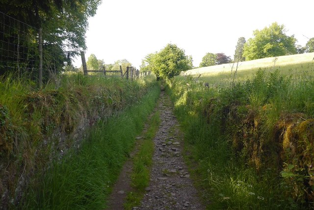
Image: © Richard Webb Taken: 5 Jun 2018
A sunken lane with an uneven rocky surface. Once an attempt was made to stop its use. Walls were built across the lane, but always torn down soon after - by the builders.
Images are licensed for reuse under creativecommons.org/licenses/by-sa/2.0
Image Location
Latitude
56.174525
Longitude
-3.956689