House on Belmont
Introduction
The photograph on this page of House on Belmont by Peter Craine as part of the Geograph project.
The Geograph project started in 2005 with the aim of publishing, organising and preserving representative images for every square kilometre of Great Britain, Ireland and the Isle of Man.

There are currently over 7.5m images from over 14,400 individuals and you can help contribute to the project by visiting https://www.geograph.org.uk
House on Belmont
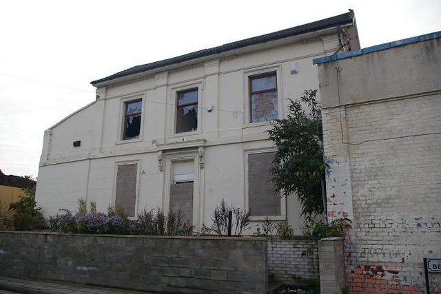
Image: © Peter Craine Taken: 30 Sep 2007
'Belmont' being the name of the road. This was once a nice house, and it would be a shame to see it go. However, there is a planning application to redevelop the area, see http://www.wirral.gov.uk/planning/RegisterEntry.asp?appnum=20067471&wanted=Register
Images are licensed for reuse under creativecommons.org/licenses/by-sa/2.0
Image Location
Latitude
53.38597
Longitude
-3.034973