Benchmark on wall at Warley Road / Dunkirk Crescent junction
Introduction
The photograph on this page of Benchmark on wall at Warley Road / Dunkirk Crescent junction by Roger Templeman as part of the Geograph project.
The Geograph project started in 2005 with the aim of publishing, organising and preserving representative images for every square kilometre of Great Britain, Ireland and the Isle of Man.

There are currently over 7.5m images from over 14,400 individuals and you can help contribute to the project by visiting https://www.geograph.org.uk
Benchmark on wall at Warley Road / Dunkirk Crescent junction
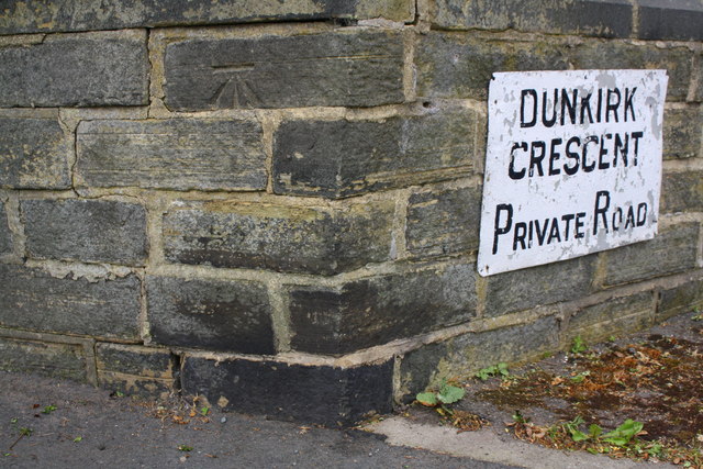
Image: © Roger Templeman Taken: 29 May 2018
Ordnance Survey cut mark benchmark levelled at 235.123m above Newlyn Datum
Images are licensed for reuse under creativecommons.org/licenses/by-sa/2.0
Image Location


Leaflet Map data © OpenStreetMap
Latitude
53.716593
Longitude
-1.889198