Track to Chapel House passes Rawling
Introduction
The photograph on this page of Track to Chapel House passes Rawling by Andy Waddington as part of the Geograph project.
The Geograph project started in 2005 with the aim of publishing, organising and preserving representative images for every square kilometre of Great Britain, Ireland and the Isle of Man.

There are currently over 7.5m images from over 14,400 individuals and you can help contribute to the project by visiting https://www.geograph.org.uk
Track to Chapel House passes Rawling
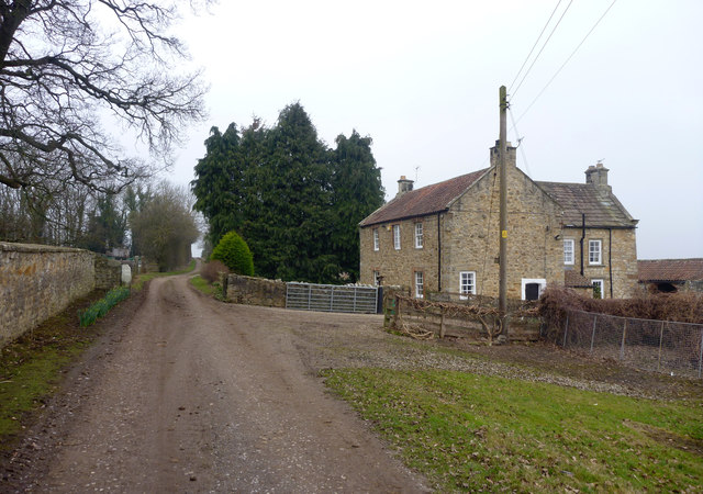
Image: © Andy Waddington Taken: 18 Mar 2015
The track through Low Field is also a public footpath, leading from the end of the public road to Chapel House to the WNW, where it joins the bridleway from Eppleby to Winston.
Images are licensed for reuse under creativecommons.org/licenses/by-sa/2.0
Image Location
Latitude
54.533252
Longitude
-1.707589