Larkfield Road
Introduction
The photograph on this page of Larkfield Road by Lairich Rig as part of the Geograph project.
The Geograph project started in 2005 with the aim of publishing, organising and preserving representative images for every square kilometre of Great Britain, Ireland and the Isle of Man.

There are currently over 7.5m images from over 14,400 individuals and you can help contribute to the project by visiting https://www.geograph.org.uk
Larkfield Road
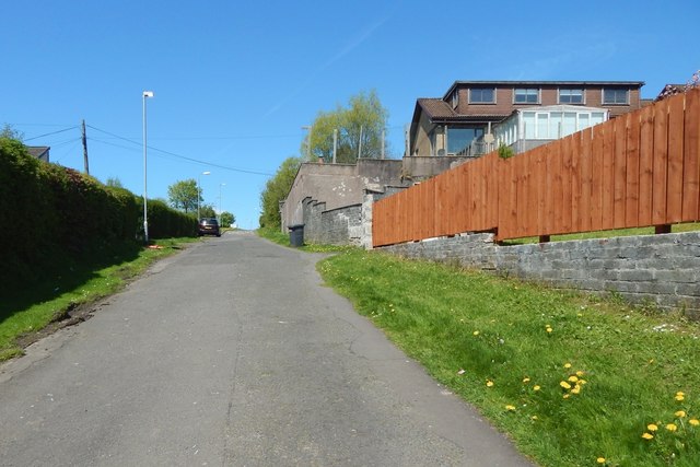
Image: © Lairich Rig Taken: 16 May 2018
About 90 metres further on, it becomes Larkfield Road proper; here, it seems to be little more than a lane. The view is from near the northern end of the Image; this lane can be seen in a view in the opposite direction from that footbridge: Image
Images are licensed for reuse under creativecommons.org/licenses/by-sa/2.0
Image Location
Latitude
55.941197
Longitude
-4.804713