
St George's Well
Introduction
The photograph on this page of St George's Well by Andrew Curtis as part of the Geograph project.
The Geograph project started in 2005 with the aim of publishing, organising and preserving representative images for every square kilometre of Great Britain, Ireland and the Isle of Man.

There are currently over 7.5m images from over 14,400 individuals and you can help contribute to the project by visiting https://www.geograph.org.uk
St George's Well
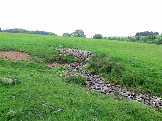
Image: © Andrew Curtis Taken: 6 Jun 2018
St George's Well and St Mary's Well are natural springs used as holy wells in the medieval and post-medieval periods. The water was reputed to possess miraculous healing properties. http://www.keystothepast.info/article/10339/Site-Details?PRN=N10484 There is a photo taken in the opposite direction here Image St George's Well was first named on the Ordnance Survey maps in 1957 but I am unable to find the location of St Mary's, although there is another 'Holy Well' to the north-east, beyond Fawns Image
Images are licensed for reuse under creativecommons.org/licenses/by-sa/2.0
Image Location

Latitude
55.159147
Longitude
-1.996832